
Geotagging is critical to intelligence organizations. But, what is it? Why is it so important? How is it being used?
Organizations that rely on geolocational data can gain more insights from location information contained in unstructured data. However, the amount of unstructured data created each day is overwhelming — and it’s only useful when given meaning. This is where geotagging comes in.
What is geotagging?
What is this snippet of text?
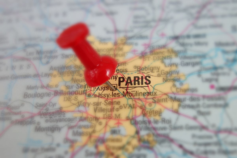
The Eiffel Tower is located in Paris.
It could be in a social media post or email. Or, it could be a sentence found inside a document or a presentation. Since this snippet lacks metadata and can’t be indexed, it’s known as unstructured text.
Geotagging is the process of finding geographic coordinates for places mentioned in unstructured text. It gives you the ability to identify critical entities and know, with precision, where they’re located.
For example, geotagging is extremely important in helping to identify precise locations of enemy or military assets or individuals on terror watch lists. In our snippet example above, geotagging can help us determine whether the Eiffel Tower is located in Paris, France, or Paris, Tennessee.
How does geotagging work?
The process of geotagging involves many steps that happen behind the scenes. For example, the first step is to identify places mentioned inside a piece of unstructured text. This is done through entity extraction.
Once an entity is extracted from the unstructured text, it is then compared to a list of entity names known as a gazetteer. The gazetteer houses the latitude and longitude of each entity for easy identification.
The gazetteer can return multiple entities due to similar location names (like our Paris example above). The final step is to remove ambiguity through Natural Language Processing (NLP), which analyzes the context of the text and surrounding locations to return the right coordinates.
Go beyond geographic location identification
i2 provides so much more than just geographical location identification. We bridge the gap between text data and geospatial metadata so you can simply organize your data by location.
Worldwide Gazetteer
Our gazetteer includes the National Geospatial Agency’s (NGA) GNS, the United States Geological Survey’s (USGS) GNIS, and our own internally developed gazetteer for worldwide coverage.
This coverage enables our solution to retrieve all of the place names associated with the geo-coordinates found with your unstructured content. As a result, you can identify important landmarks and facilities for actionable intelligence.
Linguistic Experience
Our linguistic expertise is used to differentiate between multiple places with the same name. This ensures that “Salisbury” is properly identified as Salisbury, North Carolina, or Salisbury, England.
Intelligence organizations must make sense of multilingual data from around the globe. Our solution offers NLP in over 200 languages.
All of our solutions are customizable to fit your specific needs. Plus, we’re already embedded in and approved by many military, law enforcement, and intelligence organizations.
Learn more about our geotagging capabilities
We can help you to solve the various challenges that come with geotagging such as ambiguous place names and language barriers. To learn more contact us.